
Georeferenced maps and views
Orthomosaics, grids, aerial views, and localized documentation.
Bas-Saint-Laurent · Québec
TerraData acquires and transforms aerial data for organizations that need to understand a territory, monitor an asset, or document an operation.
Areas of operation
Orthomosaics, grids, aerial views, and localized documentation.
Surfaces, volumes, 3D models, and data comparable over time.
Detection, categorization, and visual synthesis suited to decision-making.
Tools change with each mandate. The starting point is always the decision your team needs to make.
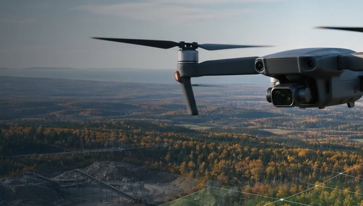
Aerial reading for access, constraints, and sectors to monitor.
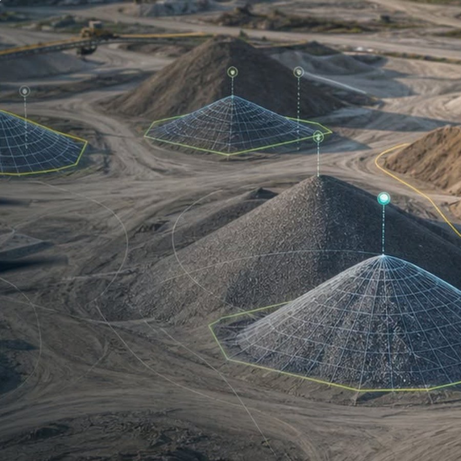
Comparable acquisitions over time.
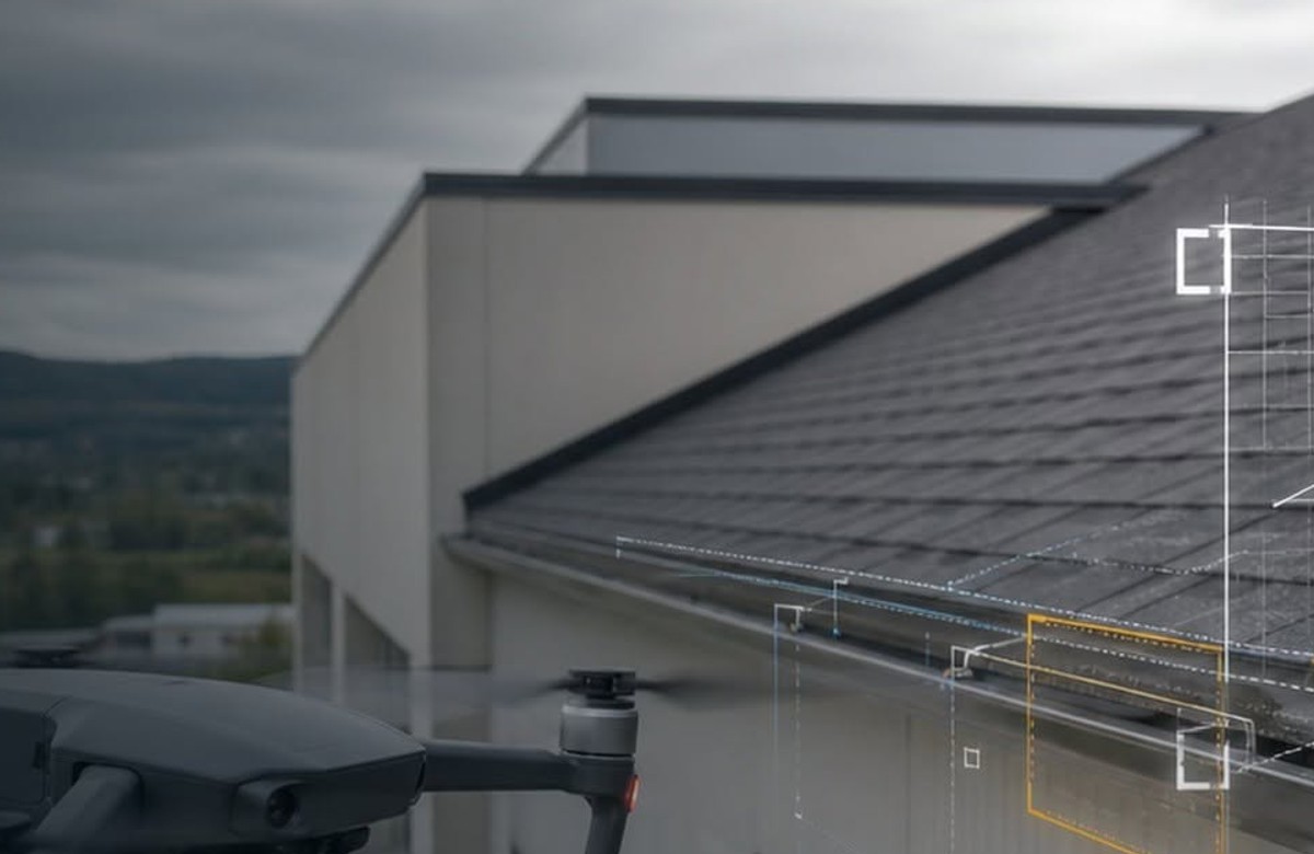
Close-range documentation without a lift bucket.
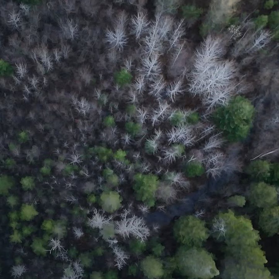
Rapid aerial overview.
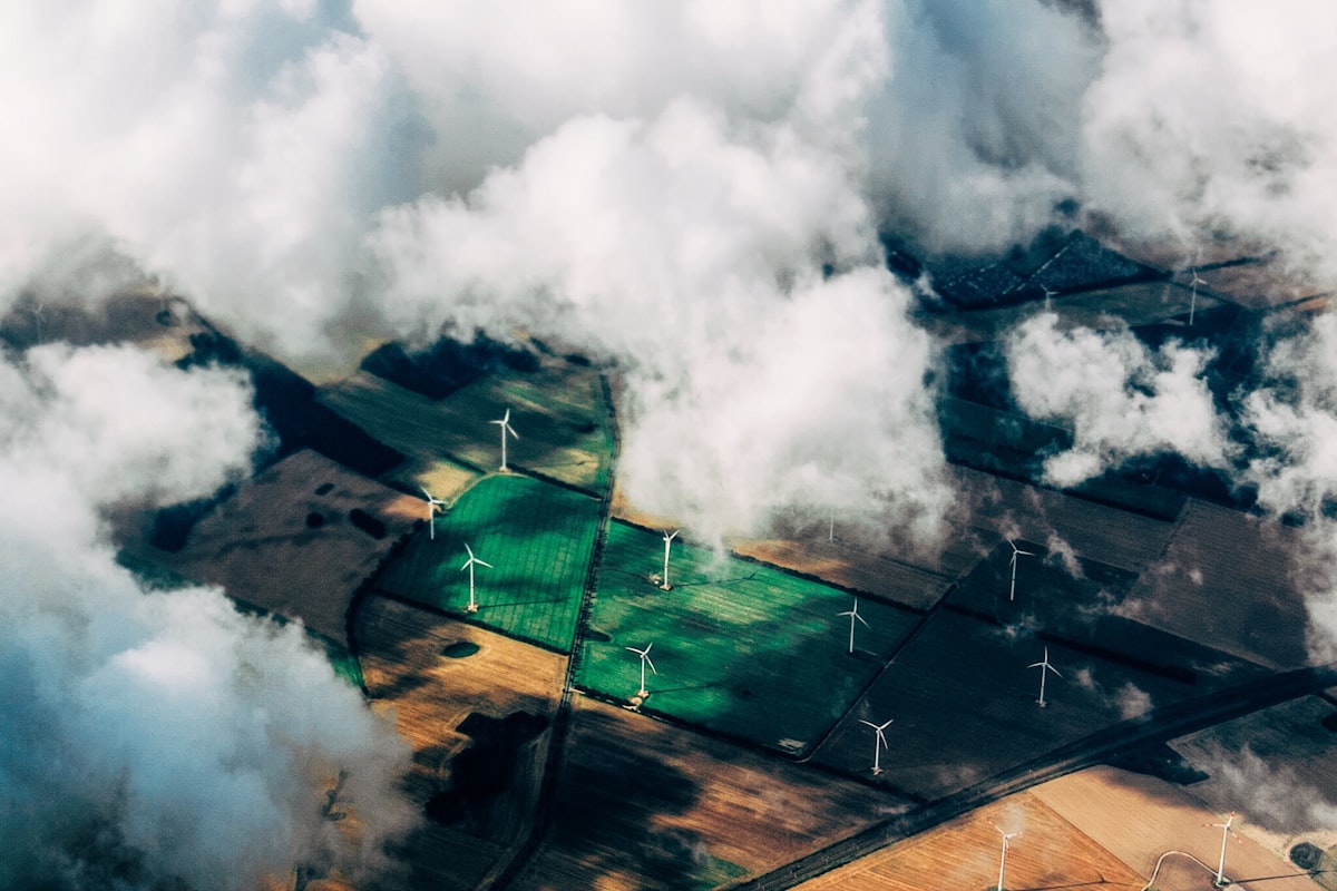
Wind and infrastructure
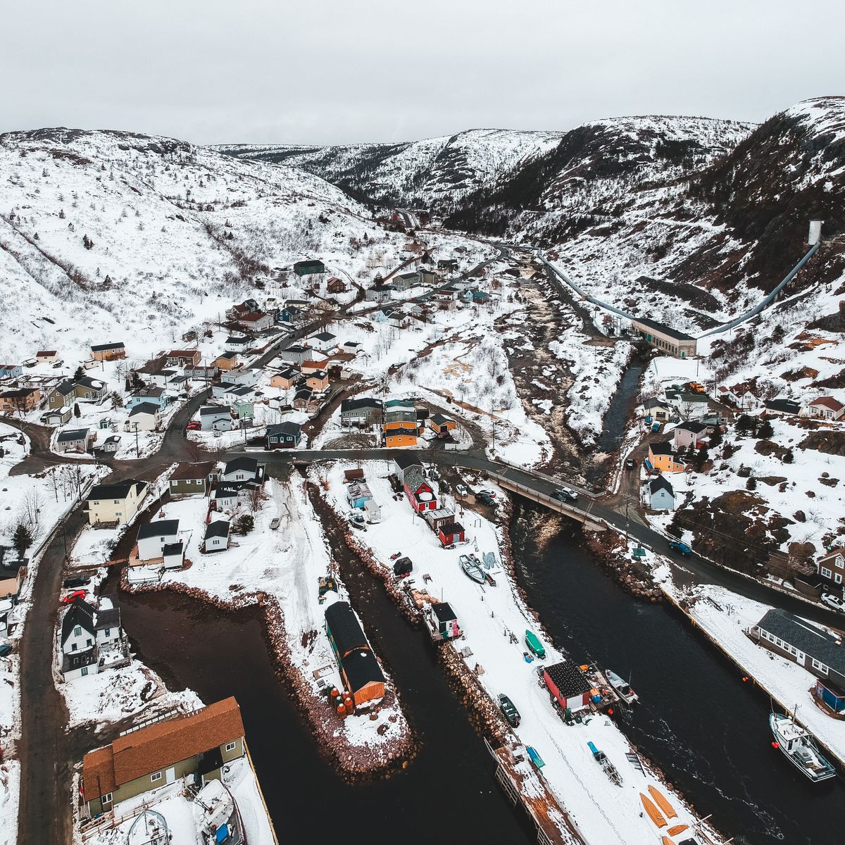
MRCs and municipalities

Forest and resources
Understand the terrain, constraints, and expected outcome.
Capture aerial data according to the defined protocol.
Transform images into georeferenced, measurable deliverables.
Provide information ready for decision-making.